
High-payload modular inspection UAV with 2 kg payload capacity. Supports LiDAR, multispectral, hyperspectral sensors and RTK precision positioning.
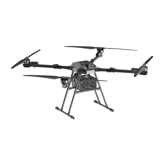
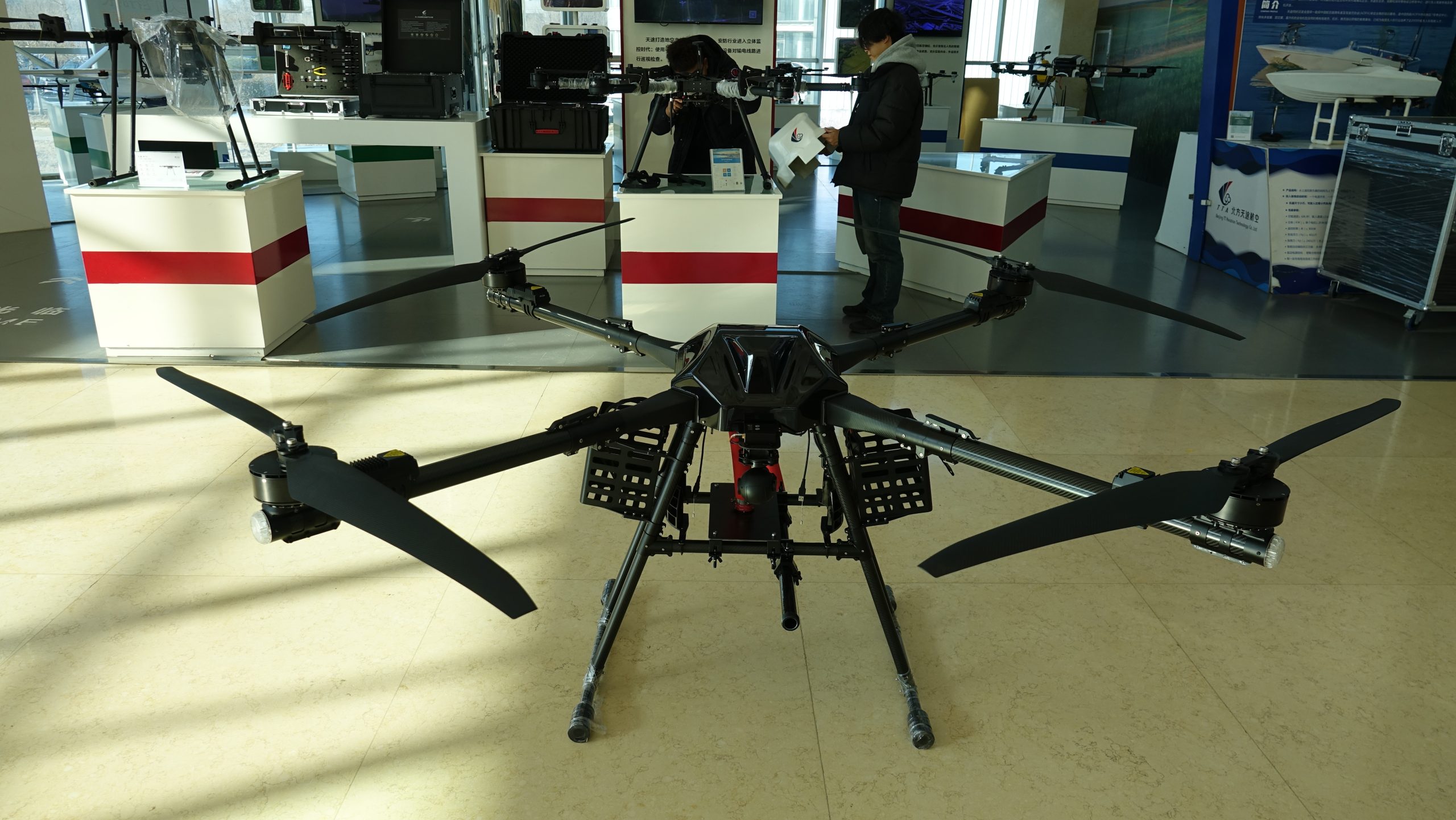
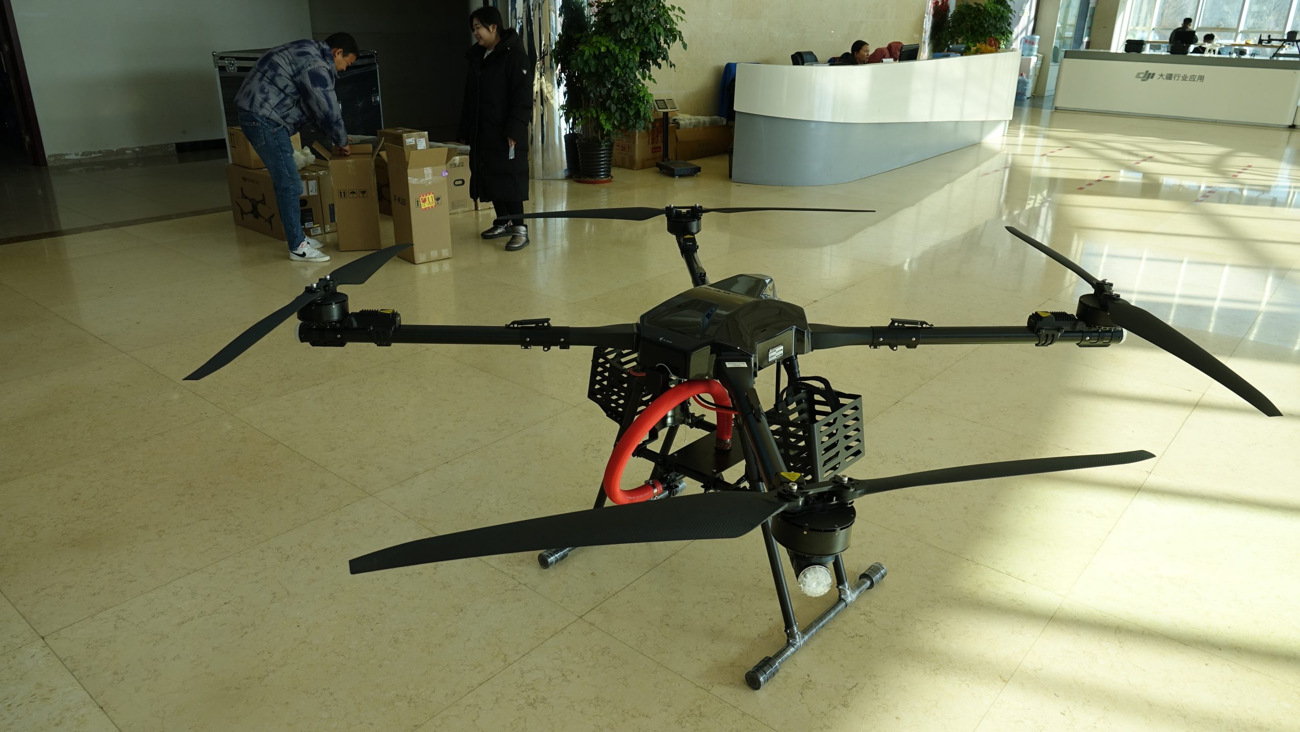
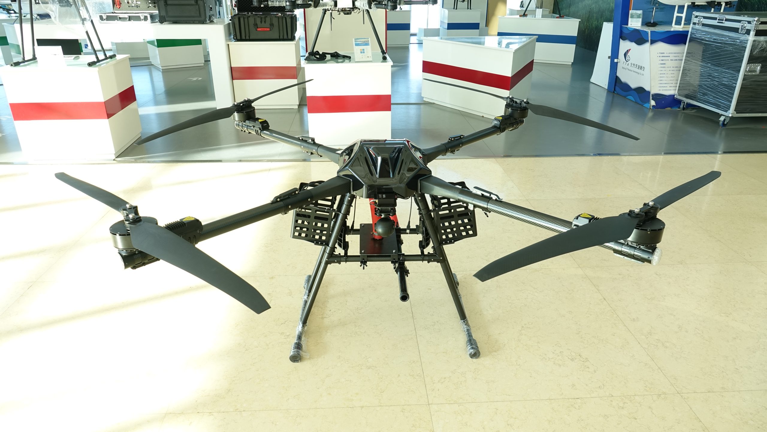
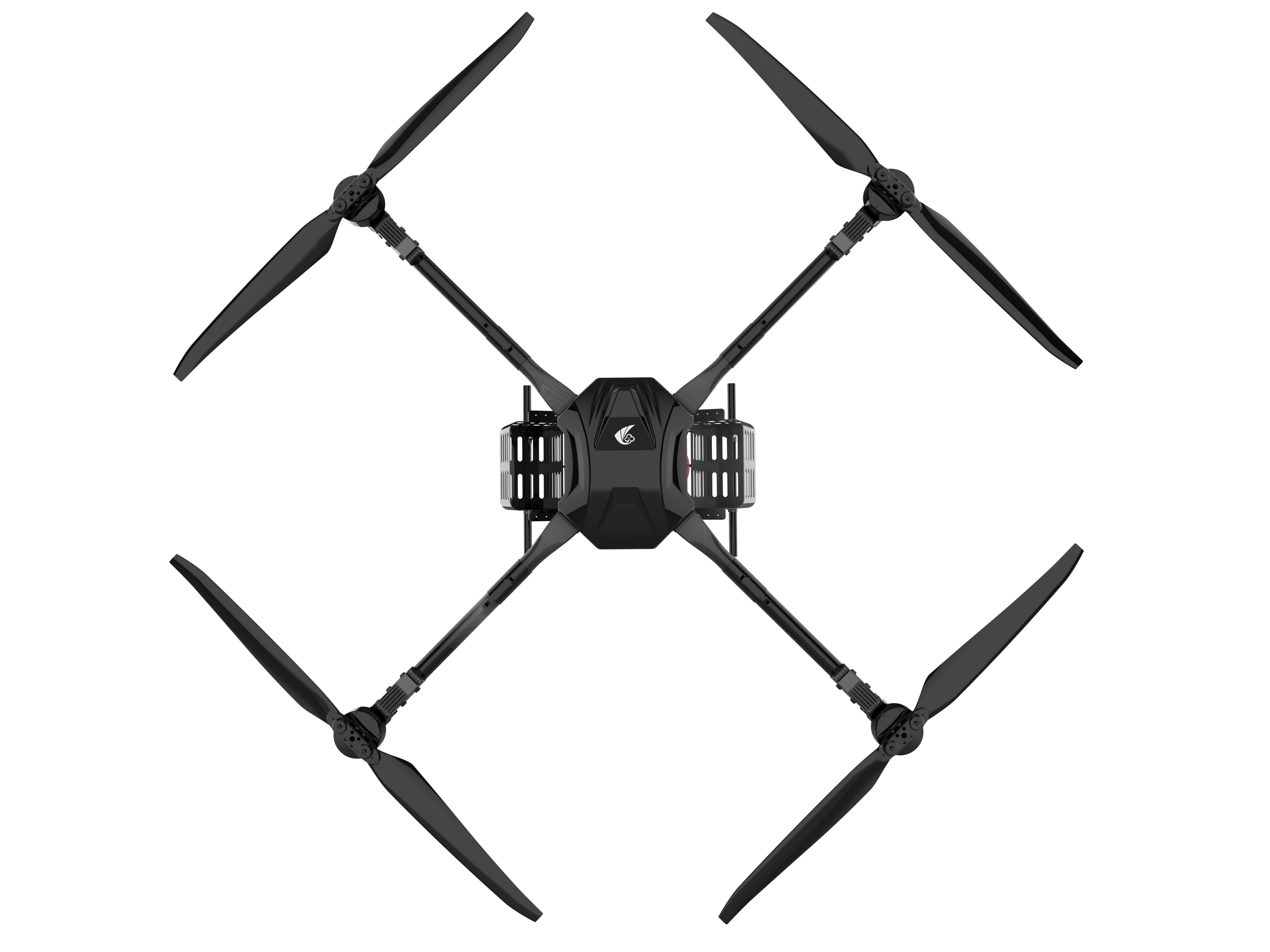
2 kg Payload Capacity: Supports heavy professional sensors including LiDAR, multispectral, and hyperspectral instruments.
RTK Precision Positioning: Centimeter-level accuracy for survey-grade mapping and inspection data.
Modular Design: Quick-swap payload bay accommodates different sensor configurations for diverse missions.
Heavy-Duty Reliability: Industrial-grade construction for demanding field operations.

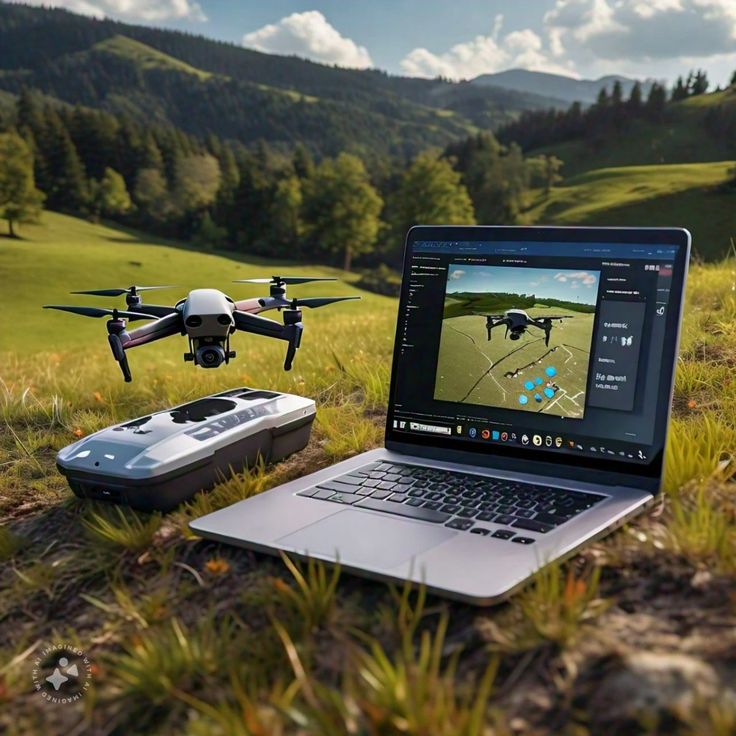
LiDAR Surveying: High-density 3D point cloud generation for topographic mapping, forestry inventory, and urban planning.
Agricultural Analysis: Multispectral crop health monitoring, NDVI mapping, and precision agriculture support.
Infrastructure Corridor Mapping: Power line, pipeline, and railway corridor survey with centimeter accuracy.
Mining & Quarry Volumetrics: Accurate stockpile volume measurements and site documentation.
Compatible with: LiDAR scanners (up to 2 kg), multispectral cameras (5-10 band), hyperspectral sensors, high-resolution survey cameras, and custom sensor integrations. RTK base station support for PPK workflows.

The TTA M50C is engineered for mission-critical inspection requiring advanced sensor payloads. Its modular payload bay accommodates LiDAR scanners, multispectral cameras, hyperspectral sensors, and custom 2 kg payloads — making it the most versatile platform in TTA’s inspection lineup.
| Parameter | Specification |
|---|---|
| Max Takeoff Weight | 4,200 g (incl. 2 kg payload) |
| Payload Capacity | 2 kg |
| Max Flight Time | 45 min (without payload) |
| Max Speed | 20 m/s |
| RTK Accuracy | ±2 cm Horizontal / ±5 cm Vertical |
| Video Transmission | 25 km HD Link |
| IP Rating | IP54 |
| Battery | Hot-Swappable, 30 min changeover |
| Payload Interface | Standard DJI-compatible gimbal bay |
| Operating Temperature | -20°C to 50°C |
Contact our sales engineering team for volume pricing, OEM configurations, and custom payload options.