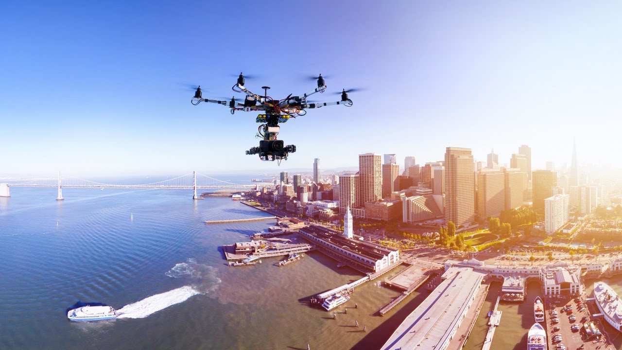
In industries where precision, speed, and safety matter, drone technology is quickly becoming the preferred solution for inspection, surveying, and monitoring tasks. Businesses that once relied on manual fieldwork, expensive aerial services, or time-consuming equipment setups are now turning to drones to collect data faster, reduce risk, and improve operational efficiency.
At SKY DRONES (Tiantu Aviation), we understand that modern organizations need more than aerial visibility—they need actionable intelligence. Drones are helping companies across multiple sectors transform how they inspect infrastructure, monitor assets, and capture high-quality aerial data.
The Traditional Challenges of Inspection and Surveying
Conventional inspection and surveying methods often involve:
Sending workers into hazardous environments
Using cranes, scaffolding, or helicopters
Spending days or weeks collecting data manually
Delaying decision-making due to slow reporting cycles
Increasing operational costs and safety risks
For industries such as energy, telecom, construction, oil and gas, agriculture, and infrastructure, these challenges can affect productivity, budgets, and even compliance.
This is where drones provide a major advantage.
Why Drones Are a Better Solution
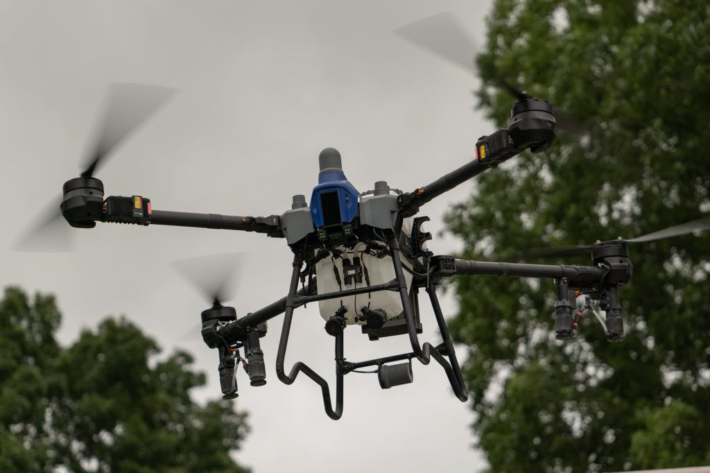
Drones offer a safer, faster, and more cost-effective way to access hard-to-reach locations and gather precise aerial information. Equipped with high-resolution cameras, thermal sensors, mapping tools, and intelligent flight systems, they can perform complex tasks with minimal disruption to operations.
Key benefits of drone-based inspections and surveys include:
Improved safety by reducing the need for workers to climb, enter hazardous areas, or operate near dangerous structures
Faster data collection across large sites, remote locations, or elevated assets
Lower costs compared to helicopters, scaffolding, and repeated manual site visits
Higher accuracy with consistent aerial imagery, 3D mapping, and repeatable flight paths
Real-time visibility for faster analysis and better operational decisions
Drone Applications Across Industries
Infrastructure Inspection
Bridges, towers, rooftops, pipelines, rail lines, and industrial structures require regular inspections to ensure safety and performance. Drones can capture close-range visuals and detailed aerial data without interrupting operations or putting inspection teams at unnecessary risk.
This is especially valuable for:
Telecom tower inspections
Solar panel and wind turbine checks
Bridge and road condition monitoring
Pipeline and transmission line inspections
Building façade and roof assessments
Construction Surveying
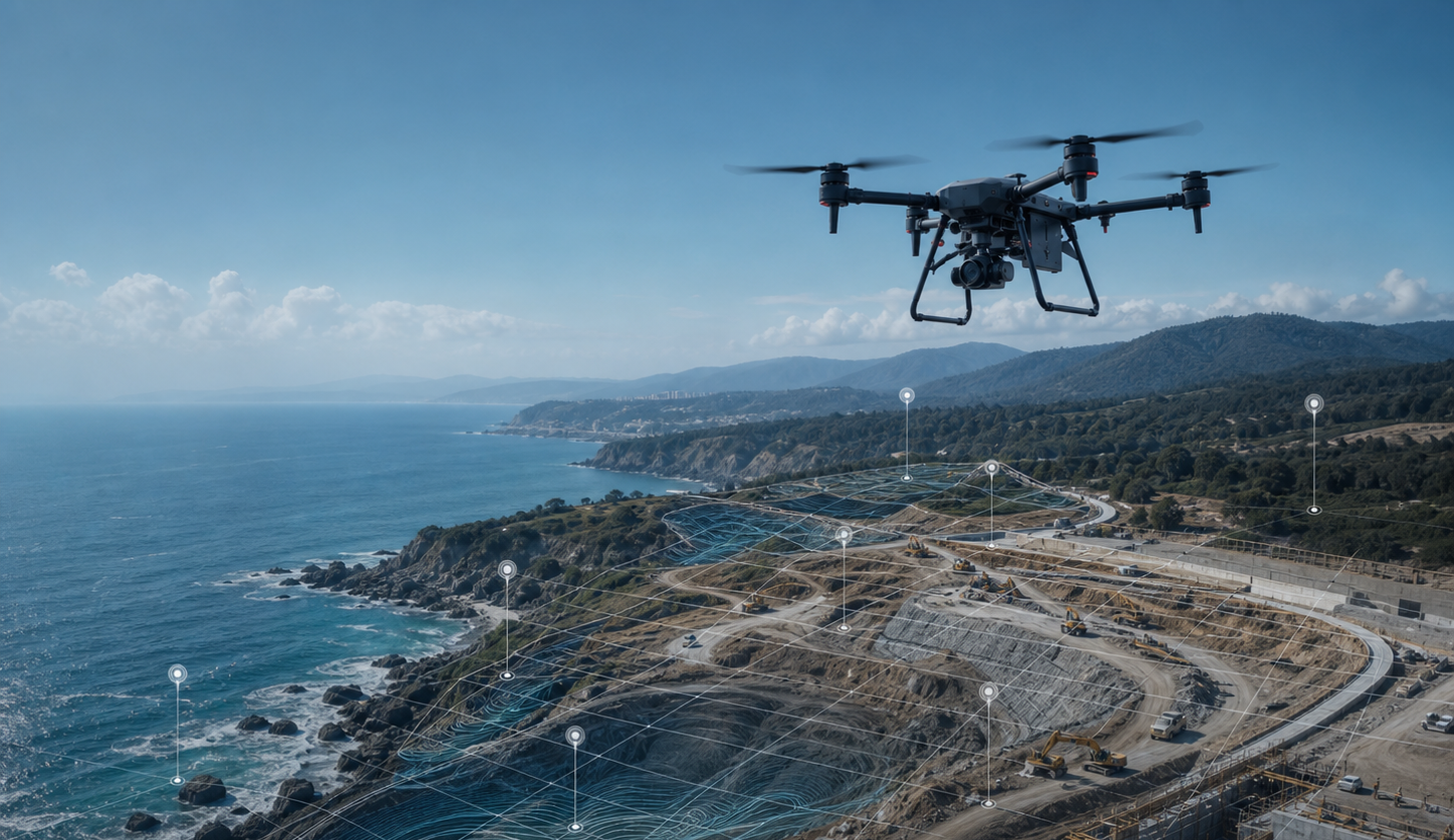
Construction firms use drones to monitor site progress, create topographic maps, measure stockpiles, and compare actual development against project plans. This helps improve planning, reduce errors, and keep teams aligned with project timelines.
Drone surveying supports:
Site mapping and land measurement
Progress tracking and reporting
Volumetric analysis
Safety inspections
Documentation for stakeholders and clients
Agriculture Monitoring
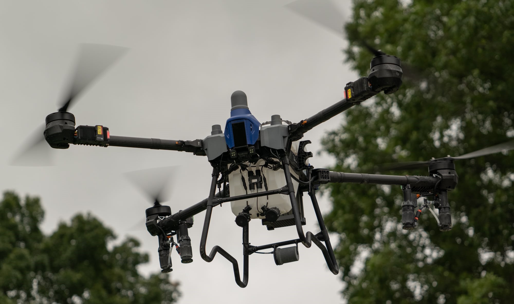
In agriculture, drones are helping farmers and agribusinesses assess crop conditions, monitor irrigation, identify stressed areas, and optimize land management. Aerial data enables more informed decisions and more efficient use of resources.
Security and Remote Monitoring
For industrial compounds, remote facilities, and large-scale properties, drones can support surveillance and perimeter monitoring. Live aerial feeds and rapid deployment capabilities make them a valuable asset for security operations.
The Power of Aerial Data
One of the biggest advantages of drone technology is not just flight—it’s data collection. Drones gather visual, thermal, and geospatial information that can be used to improve maintenance planning, reduce downtime, and support better decision-making.
Organizations can use drone data to:
Detect cracks, corrosion, leaks, or damage early
Track changes over time with repeatable missions
Improve maintenance scheduling
Reduce unnecessary manual inspections
Generate reports and visual evidence for clients, regulators, or internal teams
When paired with smart software and analytics tools, drone data becomes even more valuable.
Drones and Operational Efficiency
Every hour saved on an inspection or survey can translate into real business value. Drone-based operations reduce the need for repeat site visits, accelerate reporting, and allow teams to cover more ground in less time. This is particularly important for organizations managing large assets, multiple sites, or time-sensitive operations.
Drone technology also supports better resource allocation. Instead of dedicating large teams and expensive equipment to routine monitoring tasks, companies can deploy aerial systems that provide fast results with lower operational overhead.
Choosing the Right Drone Partner
Not all drone solutions are the same. For inspection, surveying, and monitoring operations, businesses need systems that are dependable, adaptable, and capable of performing in demanding environments. Endurance, payload flexibility, flight stability, data quality, and mission control features all play an important role in long-term success.
At SKY DRONES (Tiantu Aviation), we focus on supporting organizations with advanced drone capabilities designed for real-world commercial and industrial applications. Whether the goal is improved inspection workflows, better aerial visibility, or more efficient surveying operations, drone technology can unlock a new level of performance.
Final Thoughts
Inspection, surveying, and monitoring are critical business functions—but they no longer need to be slow, risky, or expensive. Drones are changing the way industries approach these tasks by making aerial data more accessible, operations more efficient, and teams better informed.
As businesses continue to modernize, drone technology will play an even bigger role in how assets are managed, projects are tracked, and infrastructure is maintained.
For organizations ready to improve efficiency, increase safety, and gain a clearer view from above, the future is already here—and it’s flying.